Skip to content
Search
Menu

These go through Viator and earn us a commission. You pay the same as booking direct, and the commission did not choose the list.

Low stone Maya structures with corbelled doorways standing in cleared tropical forest
Unsplash

Historic site

San Gervasio Archaeological Site

Last updated

The island's principal Maya site: a sanctuary of Ixchel that drew women across the channel by canoe for six hundred years.

San Gervasio sits in the island's flat interior, a quarter of an hour inland from San Miguel on the transversal road, and it is the reason Cozumel existed as a place worth sailing to long before anyone put a cruise pier on it. For roughly six centuries, from around AD 800 until Spanish contact in the early 1500s, this was the political and religious centre of the island and one of the most important pilgrimage destinations in the Maya world.

The pilgrimage is the part worth carrying around the site with you. Ixchel — associated with the moon, with medicine and midwifery, with weaving and with childbirth — had her sanctuary here, and women travelled to it. Not metaphorically: they crossed the channel from the mainland in dugout canoes, a stretch of open water you can see from the Punta Sur lighthouse and would not casually paddle. They came from across the Yucatán and from as far as Belize, Guatemala and Honduras, and the expectation was that a woman would make the crossing at least once. Standing in a modest clearing in low forest, that is the fact that gives the stones their weight.

What survives is not monumental. Cozumel's Maya built low, in limestone and stucco, without the height of Chichén Itzá or Tulum's cliff-edge theatre, and five hundred years of hurricanes have done the rest. What you get instead is a network: separate groups of structures scattered through the forest, joined by sacbeob, the raised white causeways that the Maya built between places that mattered. Walking those paths between clearings is the experience here, more than any single building.

The named structures are worth finding. Ka'na Nah, the tallest, is understood as the principal temple of Ixchel. Las Manitas takes its name from small red handprints still visible on its walls. El Arco is a standing corbelled arch at the end of one causeway, and Nohoch Nah sits at the other.

Come early. It is forest, it is humid, and the mosquitoes are not theoretical.
Getting there and parking

From San Miguel, head east on the transversal, the cross-island road that runs from town to the windward coast. The San Gervasio turning is signed on the left, and the site is a short drive north of the junction. Around fifteen kilometres from town, twenty minutes or so of driving.

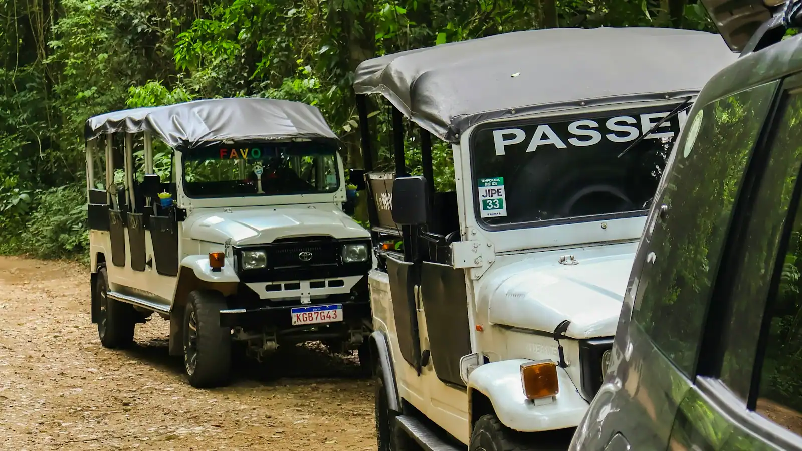
A rental jeep or car is the simplest approach and parking at the site is free. A taxi works only as a negotiated round trip with waiting time agreed before you set off, because nothing waits out here. Most island and jeep tours include San Gervasio as a stop with the entrance bundled into the price.

There is no public transport to the site. The colectivos and local buses serve San Miguel's residential colonias, not the interior.

The natural itinerary is to continue east on the transversal afterwards and come out on the windward coast, then work south or north along it before looping back. That turns a one-hour site visit into a genuinely good day.

Ixchel, and why women crossed the channel

Ixchel is usually introduced in tourist copy as a fertility goddess, which flattens her. In the Maya world she is associated with the moon, with water and rain, with medicine and midwifery, with weaving, and with childbirth and the survival of it. She is an old and complicated figure, depicted both as a young woman and as a powerful elder.

Her sanctuary on Cozumel drew pilgrims across an open sea crossing. The channel between the island and the mainland is roughly twelve miles of water with real current in it, paddled in dugout canoes, and the journey was made deliberately and repeatedly. Sources from the contact period describe the expectation that Maya women would travel to Cozumel at least once in their lives, and the site's scale relative to the island's small resident population supports that: San Gervasio was built for visitors.

Spanish accounts from the early 1500s describe an oracle here — a voice answering pilgrims from within a structure — and the Spanish destroyed it. The sanctuary's function ended at contact, and the island's population collapsed under introduced disease within a generation.

Two practical consequences for a visitor. First, this is a religious site, not a ruin park; INAH treats it as such and so should you. Second, the interpretation you get depends heavily on your guide. A good one will make the pilgrimage legible. A rushed one will point at stones for twenty minutes.

What is actually there, and what to look for

The site is a set of small building groups in cleared forest, connected by causeways. Allow an hour to an hour and a half to walk it properly.

  • Ka'na Nah — "tall house". The largest structure and understood as the principal temple of Ixchel. Low and broad by mainland standards, with a stairway and platform.
  • Las Manitas — "little hands". Named for small red handprints surviving on the wall plaster, which is the single most affecting detail on the site. Interpreted as an elite residence.
  • El Arco — a standing corbelled arch marking the entrance to one of the building groups, at the end of a sacbé. The classic photograph of San Gervasio.
  • Nohoch Nah — "big house". A small structure with traces of paint still visible inside, at the other end of the causeway network.
  • The sacbeob themselves — raised limestone causeways, originally surfaced white, running between the groups and out toward other settlements on the island. These are the connective tissue and they are easy to walk past without registering what they are.

Look for surviving stucco and pigment. Fragments of red and blue paint remain in sheltered corners, and once you have seen one you start seeing them everywhere. These buildings were plastered and brightly painted, which changes how you picture the place.

Do not climb on the structures. It is prohibited, and the site is small enough that everyone will see you.

Getting there, tickets and the guide question

San Gervasio is off the transversal — the cross-island road that runs from San Miguel to the east coast. The turning is signed, and it is a short drive north from the junction to the site. Roughly fifteen kilometres from town, twenty minutes or so by road.

Getting there. A rental jeep or car is the straightforward option, and there is free parking at the site. A taxi works if you negotiate the round trip and waiting time in advance; you will not find one waiting to take you back. Most jeep and island tours include San Gervasio as one stop, usually with the entrance bundled.

Tickets. INAH charges admission per person, in pesos, and the amount has changed over the years. Budget modestly and verify on arrival. Expect to pay in cash. Children and Mexican nationals have different rates, and there are usually days with reduced or free entry for residents, which also makes those the busiest days.

Guides. Licensed guides wait at the entrance and charge per group rather than per person. Whether to take one is the real decision. The interpretive signage is adequate but dry, and this is a site where the meaning is not visible in the stones. If there are three or four of you, split a guide and agree the price and the duration before you start walking.

Combine it with the east coast on the same loop. The transversal comes out at the windward shore, which is the natural second half of the day.

Heat, mosquitoes and the cruise-day maths

This is inland forest on a flat limestone island, which means still air, high humidity and insects. Plan accordingly.

  • Go first thing. Mid-morning onwards is hot, and the site has limited shade between groups.
  • Mosquitoes and biting flies are real, particularly after rain and in the wet months. Repellent before you leave, not in the car park.
  • Wear closed shoes. The paths are compacted limestone that goes soft and slippery after rain.
  • Bring water. There is limited provision on site and none between building groups.
  • Cash for tickets and guides.

Overnight visitors have the better version of this trip: go at opening, take a guide, walk it slowly, then carry on across the transversal to the east coast for lunch at one of the windward beach bars. That is one of the best days on Cozumel and it needs a vehicle.

Cruise passengers can fit San Gervasio in, but it is a commitment of two to three hours with transport, and it is usually sold as one stop on a longer island tour rather than on its own. If you have an eight-hour call and a jeep booked in advance, a loop taking in San Gervasio, the east coast and back is achievable with an hour of slack. On a shorter call, pick one thing. Work backwards from all-aboard in ship's time, remembering the island stays on UTC-5 all year and runs an hour behind US Eastern from March to November.

Tours that visit San Gervasio

Operators run these trips past San Gervasio, or stop there as part of a longer route. We list what the booking data supports — not everything that mentions the name.

These go through Viator and earn us a commission. You pay the same as booking direct, and the commission did not choose the list.

Shared departurespriced per seat, best value for one or two

Private and small-group optionsoften cheaper per head for a family or a group of six

  • El Ausente at El Cielo
    Free cancellationPrivate tour

    Low Last Minute Supplier Cancellation Rate

    Exclusive Private Boat to El Cielo (opens in a new tab)

    70 reviews

    Indulge in the exclusivity of a Private Boat tour to Cozumel’s most breathtaking destinations: El Cielo and the world-famous coral reefs…

    4 hours

    Prices checked

    from $419.99
  • Mr Sanchos Romantic Day Beach Pass for Two
    Free cancellationSmall group

    Short term availability

    Mr Sanchos Romantic Day Beach Pass for Two (opens in a new tab)

    455 reviews

    Already married? We have just what you need. Just friends? You can join along too. Come and enjoy. This pass includes the All Inclusive…

    1 hour

    Prices checked

    from $295

Near San Gervasio

Straight-line distances, so allow more on the road — the island is long and has one main parkway.

  • A small waterfront town seen from the water, with a seafront promenade and low buildings behind it
    Free

    Neighbourhood

    San Miguel de Cozumel

    The island's only town, where the price of the same beer halves somewhere between the waterfront and Avenida 30.

    1–4 hoursFree. The malecón, the main square and the waterfront cost nothing to walk.6.6 mi away

  • Heavy surf breaking on an empty, steep windward beach under a bright sky
    Free

    Beach

    Punta Morena

    Open Caribbean, no reef in front of it, no lifeguard on the coast — and the best two hours on the island if you are staying the night.

    1–3 hoursFree. The beach is open shoreline; you pay only for what you eat and drink.4.9 mi away

  • Heavy surf breaking on an empty, coarse-sand windward beach with low scrub behind it
    Free

    Dining district

    Mezcalitos Beach Bar

    The first thing you reach after crossing the island: a palapa bar on an ocean shore that looks swimmable and is not.

    1–2 hoursNo admission charge. You pay for what you eat and drink, and east-coast prices sit above town prices.4.4 mi away

  • A single small pre-Hispanic stone structure standing under a protective roof on open grass
    Free

    Historic site

    El Cedral

    Cozumel's oldest settlement, where a single small Maya building shares a square with a church founded by refugees in 1848.

    0.5–1 hoursFree to walk into the village and look at the Maya structure and the church.10.8 mi away

San Gervasio: common questions

What is San Gervasio and why does it matter?

It was the political and religious centre of Maya Cozumel and a sanctuary of Ixchel, drawing pilgrims for roughly six hundred years from around AD 800 until Spanish contact. Women crossed the channel from the mainland in dugout canoes to visit it, travelling from across the Yucatán and beyond. The buildings are modest, but the site was built for visitors rather than for a small island population, which is the point.

Are the San Gervasio ruins worth visiting if you have seen Chichén Itzá?

They are a different proposition, not a smaller version. Cozumel's Maya built low in limestone and stucco, and hurricanes have taken the rest, so there is no monumental architecture here. What San Gervasio offers is a network of small building groups joined by sacbeob, raised white causeways you walk between clearings, plus surviving red handprints and traces of paint. Take a guide, or the meaning stays invisible.

How much does it cost to enter San Gervasio?

INAH charges per person in pesos, and the amount has changed over the years, so published figures date quickly. Bring cash and verify on arrival. Rates differ for children and Mexican nationals, and days with free or reduced entry for residents are also the busiest. Licensed guides wait at the entrance and charge per group rather than per head, which makes splitting one sensible for three or four people.

How long do you need at San Gervasio?

An hour to walk the circuit at a reasonable pace, an hour and a half with a guide and time to look properly. With transport from San Miguel, budget two to three hours door to door. The site is a set of separate building groups joined by causeways, so most of the time is spent walking between them rather than standing in front of anything, and that walking is the better half of the visit.

Do you need a guide at San Gervasio?

Not required, but it is the single thing that decides how much you get from the visit. The signage is accurate and dry, and nothing about the pilgrimage, the goddess or the causeway network is visible in the stones themselves. Licensed guides wait at the entrance and charge per group, so it costs little to split between several people. Agree the price and the duration before you set off.