On this page
Drive south out of San Miguel, past the piers and the beach clubs, round the bottom of the island at Punta Sur, and the world changes at the corner. The road turns north, the wind arrives, and for the next twenty-odd miles there is a two-lane strip of tarmac, an ocean on your right with nothing between it and Cuba, scrub on your left, and perhaps four bars.
This is the windward coast, and the reason it looks like this is the reason you cannot swim on it.
Why there is nothing here
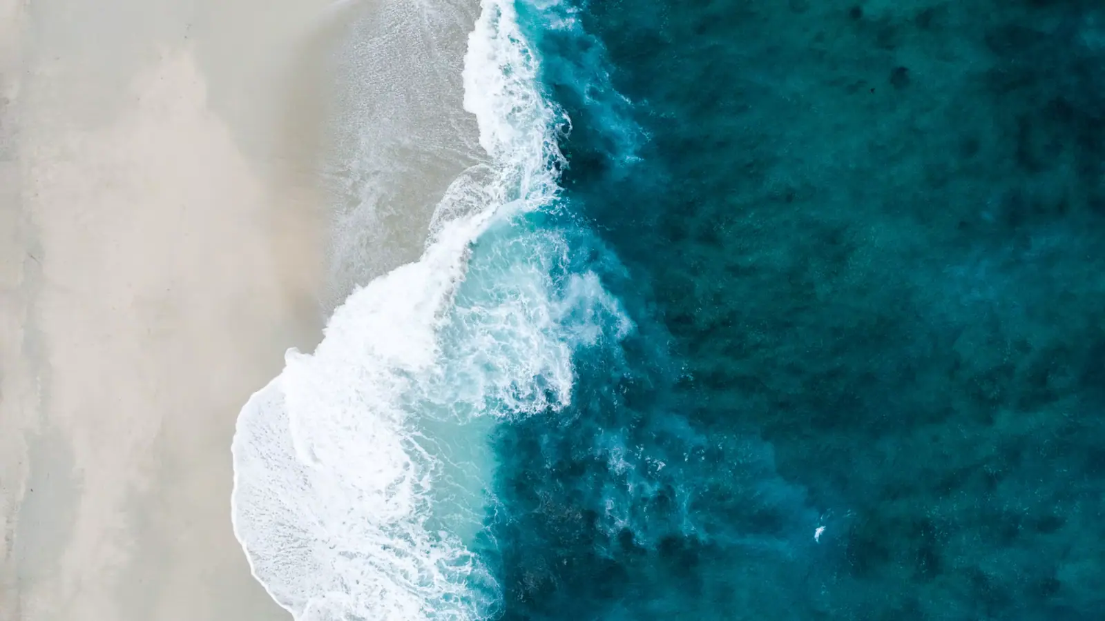
Cozumel's reef sits on the west side. The island's leeward shore is sheltered, flat and reef-fronted, which is why every pier, hotel, dive shop and beach club on Cozumel is on that one coast. The east coast faces open Caribbean with no barrier reef in front of it to break the swell. The waves arrive with their full energy, land on a steep beach, and drag back out.
That produces a shore break that knocks adults over and an undertow and rip system that is genuinely dangerous. There are no lifeguards anywhere on the east coast, no phone signal for long stretches, and no infrastructure to bring help quickly. People drown on this coast. Not often, and almost always in circumstances that were obvious beforehand.
So the honest framing of the east side is this: it is the best drive on the island, one of the best lunches, and not a swimming beach. Once you accept that, it becomes the single thing we would most recommend to anyone staying the night.
Working up the coast
Punta Sur Eco Beach Park is the gateway. Pay at the gate, drive the internal road to Faro Celarain, climb the lighthouse — well over a hundred steps and no lift — and stand on the southern tip of the island with the channel on one side and open ocean on the other. The Laguna Colombia boardwalk on the way in has wild American crocodiles in it, which is why the viewing is from a raised walkway.
Out of the park and round the corner, the coast road proper begins.
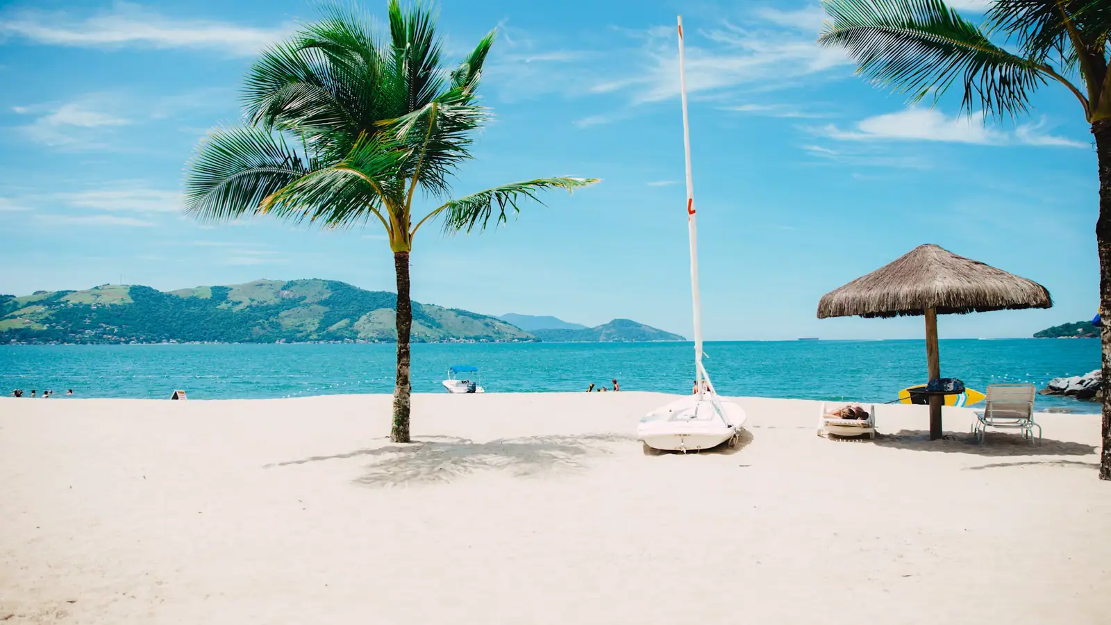
Playa Bonita and the southern stretch are the emptiest part. Long sand, dunes, no facilities. Stop, look, get back in the car.
Mezcalitos and Rasta Bar sit down at the sand roughly where the road meets the first real beach. Palapas, plastic chairs, cold beer, fried fish and ceviche. Nothing on this coast is trying to impress you and that is the appeal.
Coconuts is up on the bluff, and the climb is the point: from the terrace you look down the whole length of the windward shore with the surf lines stacked up below. It is the best view on Cozumel that does not require a boat or an aircraft.
Punta Morena is where the surf is. Cozumel is not a surf island by Pacific standards, but this is where what swell there is arrives, and on the right day there are boards in the water.
El Mirador is a limestone arch and rock platform on the shore, sculpted by exactly the water you are not getting into. It is a five-minute stop and a good one.
Keep going north and the tarmac eventually gives out. The track beyond, toward Punta Molas at the island's northeastern tip, is unpaved, rough, unsigned and genuinely four-wheel-drive territory. Rental agreements routinely prohibit it. Do not take a standard jeep up there on a whim.
The transversal cuts back west across the middle of the island from around the middle of the east coast, past the San Gervasio turning, and returns you to San Miguel in twenty-five minutes or so. That is what makes the loop a loop.
| Stop | What is there | Swimming | Allow |
|---|---|---|---|
| Punta Sur gate to Faro Celarain | Lighthouse, Celarain museum, Laguna Colombia boardwalk | Sheltered park beach only | 2–3 hrs |
| Playa Bonita and the southern stretch | Long empty sand, dunes, no facilities | No | 20 min |
| Mezcalitos and Rasta Bar | Palapas at the sand, ceviche, fried fish | No | 1 hr or more |
| Chen Río | The sheltered cove, on the right day | Sometimes — ask at the bar first | 1 hr |
| Coconuts | Bluff-top terrace and the long coast view | No beach access from here | 30–45 min |
| Punta Morena | The island's surf beach | Surfers only, not swimmers | 30 min |
| El Mirador | Limestone arch and rock platform | No | 15 min |
| The Punta Molas track | Unpaved, unsigned, four-wheel-drive only | — | Do not attempt in a rental |
Where you can, sometimes, get in
There are a small number of coves along this coast where a rock arm or a shallow reef knocks the swell down enough to make a natural pool. Chen Río is the best known of them, and on a calm day locals do swim there.
Two conditions on that. First, "on a calm day" is doing a great deal of work — the same cove in a swell is as dangerous as the open beach either side of it. Second, the people who know are at the bar. Ask them. The staff on this coast have no reason to encourage you into the water and every reason to be straight about it, and they will tell you plainly whether today is one of those days.
Anywhere else: stay above the wet sand.
Turtles
Cozumel's east-coast beaches are nesting ground for sea turtles, principally green and loggerhead, through roughly May to October. Nests are marked and monitored, some stretches are restricted at night in season, and the local programme takes it seriously.
If you are on this coast in nesting season: do not drive on the sand, keep off marked nests, do not use white light on the beach after dark, and do not touch a nesting female or a hatchling. If you find yourself near a nest emergence, stay back and let it happen.
Sargassum, and the comparison that matters
Here is the fact worth carrying away from this page. Sargassum seaweed affects the whole Caribbean coast seasonally, and Cozumel's west shore gets substantially less of it than the mainland Riviera Maya, because the island shelters its own leeward side. That is a genuine argument for Cozumel over Playa del Carmen or Tulum in a heavy year.
The east coast is where Cozumel collects its share. Windward, exposed and unraked, the beaches out here can carry a deep seaweed line for weeks. It changes what the coast looks like and does not change what it is for, because you were not getting in anyway.
How to do it
Anticlockwise, south first, in your own vehicle. Fill the tank in San Miguel before you leave, because there is effectively no fuel on the east coast. Bring cash in pesos, because the bars are cash businesses and there are no cash machines out here. Download the map, because signal is unreliable for long stretches. And go in the afternoon if you want the photographs, because the coast faces east and the light is behind you after midday.
Cruise passengers: this is not a six-hour-call activity. The full loop with a stop at Punta Sur and lunch on the windward side runs five and a half to six and a half hours door to door, and the failure mode is a breakdown or a flat tyre somewhere with no signal and no taxi rank. On an eight-hour call with an early start it works. On anything shorter, take the southern half and turn back at Punta Sur.
The bars, and how they work
There are roughly four places to eat and drink on twenty miles of coast and they operate on a shared set of assumptions worth knowing before you arrive.
They are cash businesses in practice. Some take cards, some do not, the signal that would authorise the transaction is unreliable, and nobody out here is troubled by that. Bring pesos.
They work on minimum consumption rather than admission. Use the palapa, the chairs and the shade, buy lunch and a drink, and that is the arrangement. Nobody will hand you a wristband.
Hours are weather and season dependent. In September, when the island takes its quiet month and hurricane risk peaks, some of these places close for maintenance for weeks at a time. In a strong norte, a bar down at the sand may simply not open. If you are driving out specifically to eat somewhere, it is worth asking at your hotel that morning whether it is open, because there is no way to check from the road.
The food is ceviche, whole fried fish, guacamole and cold beer, and it is cooked by people who are not competing with anyone within ten miles. Prices are reasonable by island standards, considerably better than the malecón, and nothing here is priced for someone who has to be back on a ship by six.
Tip in cash and in pesos. The staff commute out here.
The water, stated plainly
This is the part of the Cozumel pack we are least willing to soften.
The east coast of Cozumel has no barrier reef in front of it, a steep beach profile, a heavy shore break and a strong undertow with rip currents. There are no lifeguards on any part of it. Mobile signal is unreliable, there is no lifesaving equipment on most beaches, and an ambulance from San Miguel is a long way away.
Do not swim on the open beaches of the east coast. Not a strong swimmer, not just to cool off, not near the shore. The shore break alone puts people on the sand hard enough to cause injury, and the undertow does the rest.
The exceptions are a handful of protected coves, Chen Río the best known, where a rock arm or shallow reef knocks the swell down. Even there, calm is a property of the day rather than of the place. Ask at the bar, look at the water for five minutes before anyone gets in, and if there is white water in the cove itself, that is your answer.
Two more: do not let children play at the waterline where the shore break lands, and do not go in the lagoons anywhere on this island. American crocodiles live in Laguna Colombia and the mangrove systems, which is why the viewing there is from a boardwalk.
Look at it. Eat on it. Photograph it. Stay out of it.
Last updated
Opening hours, ordinances and prices move with the season. We re-check this guide rather than rewrite it, and the date above is the last time someone did. How we research and correct.