Skip to content
Search
Menu

These go through Viator and earn us a commission. You pay the same as booking direct, and the commission did not choose the list.

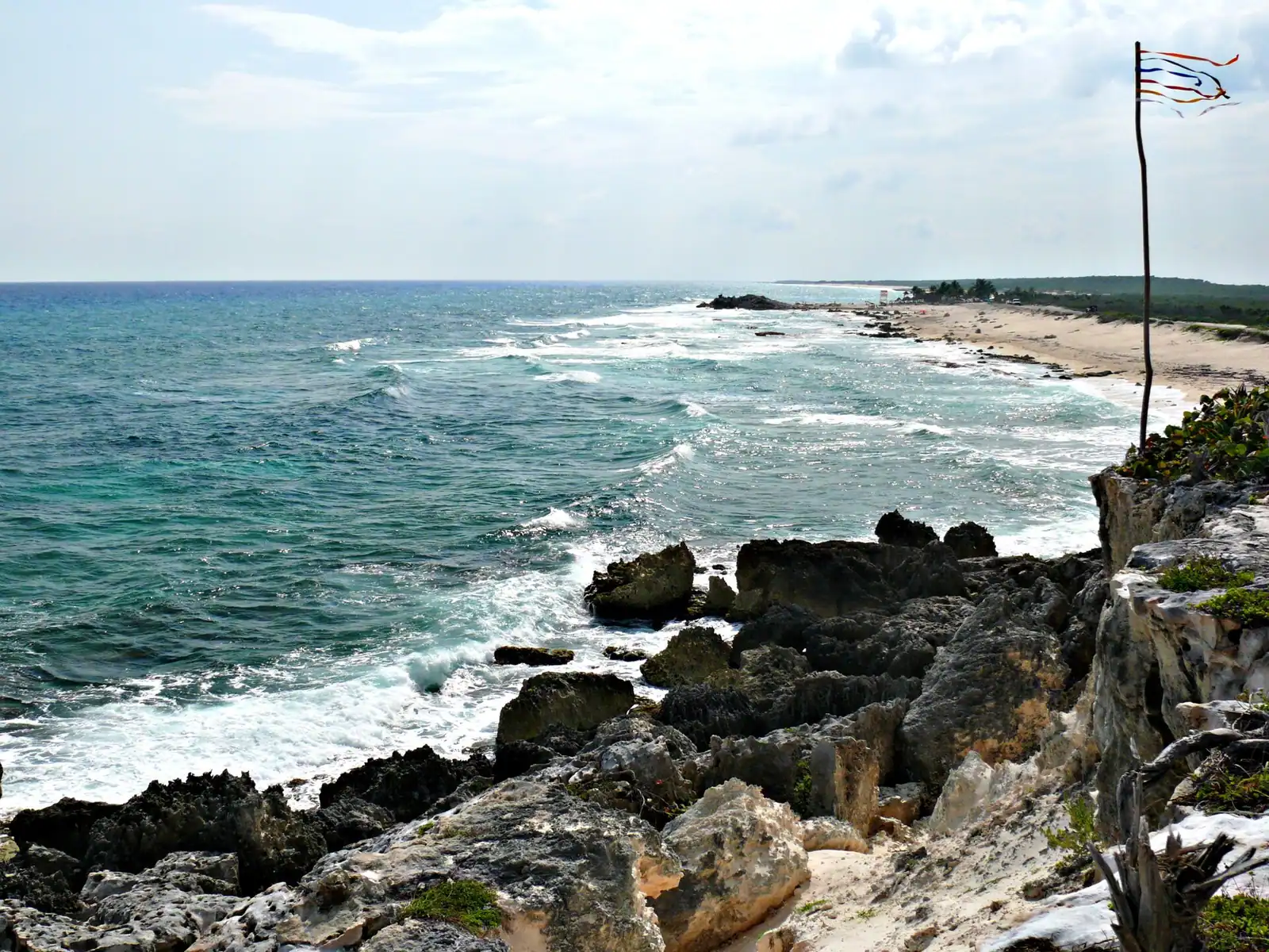
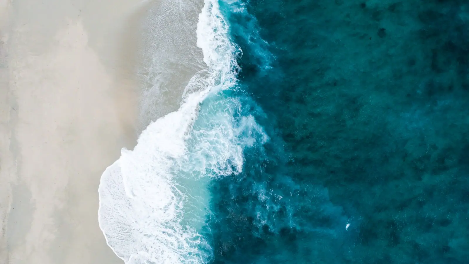
Surf breaking on an empty windward beach backed by low scrub and limestone with no buildings in sight

Things to Do

Cozumel's East Side Beaches

Last updated

Cozumel's windward coast is undeveloped, spectacular and mostly unsafe to swim. The beach bars, the loop drive, and the few coves that are safe.

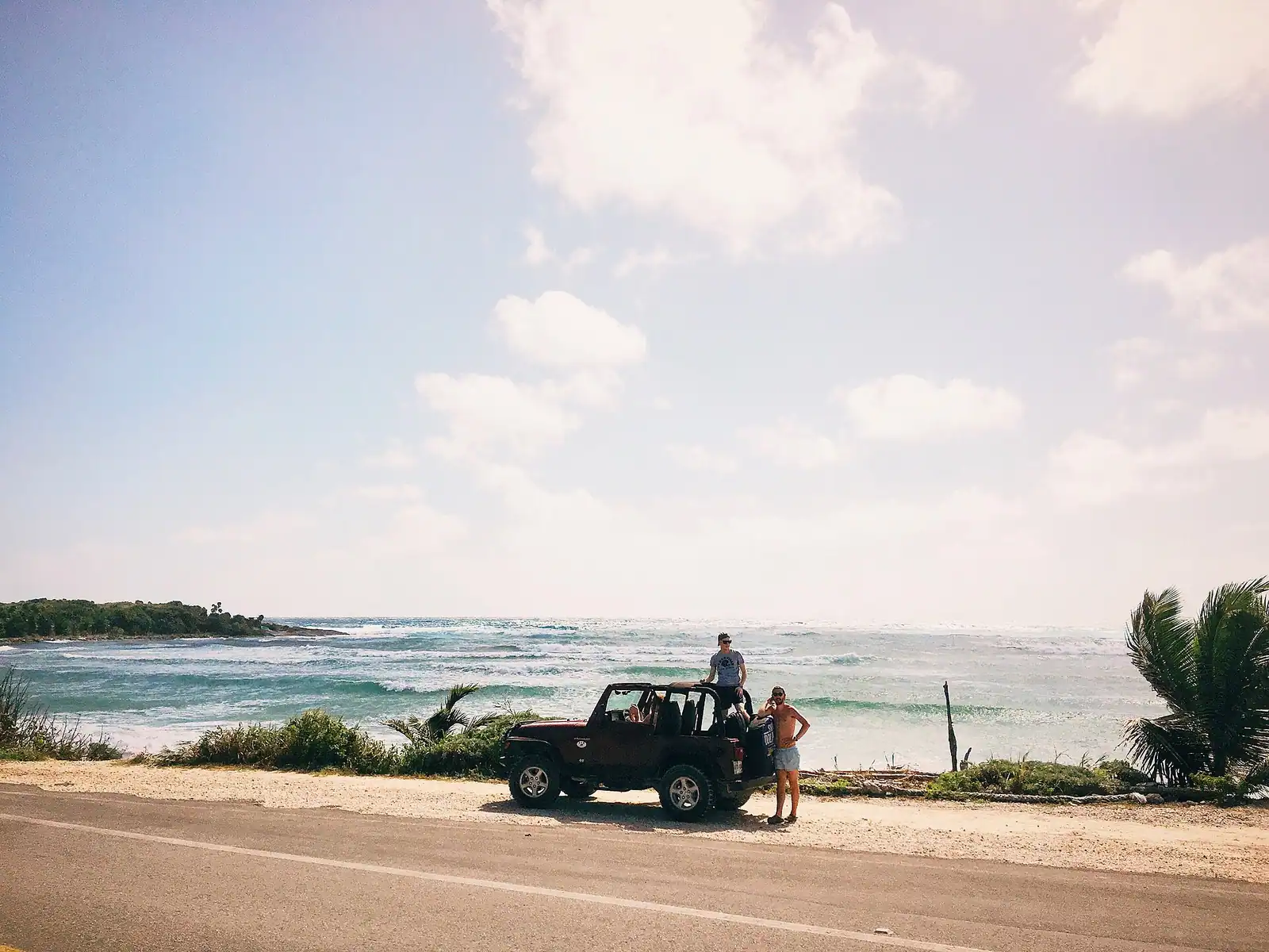
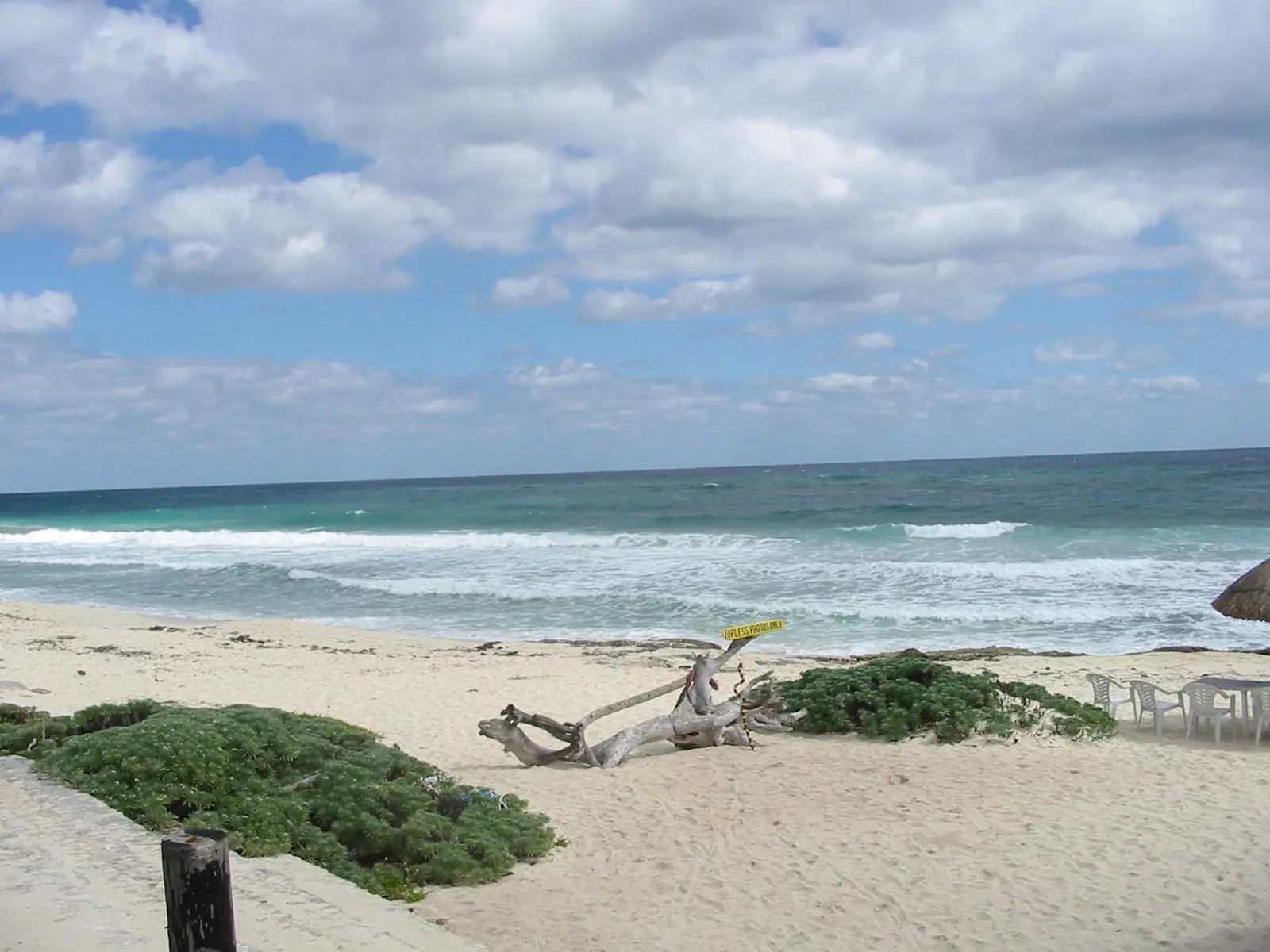
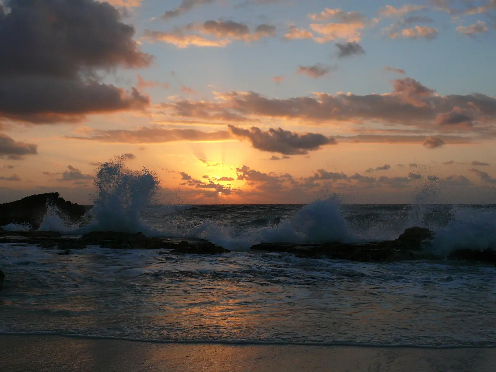
Roughly thirty kilometres of Cozumel's Caribbean coast has almost nothing on it. No hotels, no piers, no mains electricity to speak of, no towns. A single road runs down the windward side from the transversal highway in the north to the entrance of Punta Sur at the southern tip, and along its length there are a handful of palapa bars with sand floors and a cash box, a surf break, a limestone arch, and beach after empty beach with the open Atlantic swell coming straight in. On an island that receives millions of cruise passengers a year, this half of it is essentially empty on a Tuesday.

It is also mostly not safe for swimming, and that has to be the first thing said rather than a footnote. The west coast is calm because the island shelters it and a barrier reef breaks whatever swell gets through. The east coast has neither. There is no protecting reef, the water shelves steeply, and the currents and undertow along this shore are genuinely dangerous. There are no lifeguards. People drown here, and they are almost always visitors who assumed that because the Caribbean was calm on the other side of the island it would be calm on this one. A small number of coves are sheltered by rock formations and are swimmable in settled conditions. Everything else is for looking at, wading ankle-deep in, and photographing.

Once that is understood, the east side is the best half-day on Cozumel. The drive itself is the attraction: iron-grey limestone, scrub thorn forest, iguanas the size of cats on the verge, and a horizon with nothing between you and Cuba. The bars — Coconuts up on the bluff, Mezcalitos and the others near the junction, Punta Morena further south — serve cold beer and fried fish with a view no beach club on the west coast can match, and they take cash only. Between May and roughly October these beaches are sea turtle nesting grounds, which is why the development pressure has been held off and why you should stay off marked nests.

For cruise passengers this is a real decision rather than an obvious yes. The full island loop takes three to four hours with stops, which fits a long call with an organised jeep tour and does not fit a short one or an improvised plan. For anyone staying on the island overnight, it is the single strongest recommendation on this site. Rent a jeep, fill the tank in town, go clockwise, and give it a day.
Our picks

The ones we would book

  • Editor's Pick

    Best full island loop tour

    Why we chose it

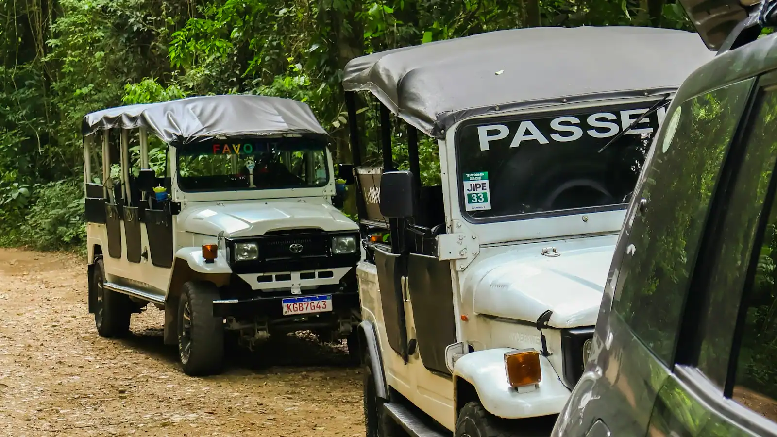
    The trip that actually crosses to the windward side rather than circling the beach clubs: the transversal road east, the full coast run past El Mirador and the surf at Punta Morena, lunch at a sand-floored bar on the bluff, and Punta Sur on the way back. Check that the itinerary names east-coast stops specifically rather than just "island highlights".

The coast, south to north

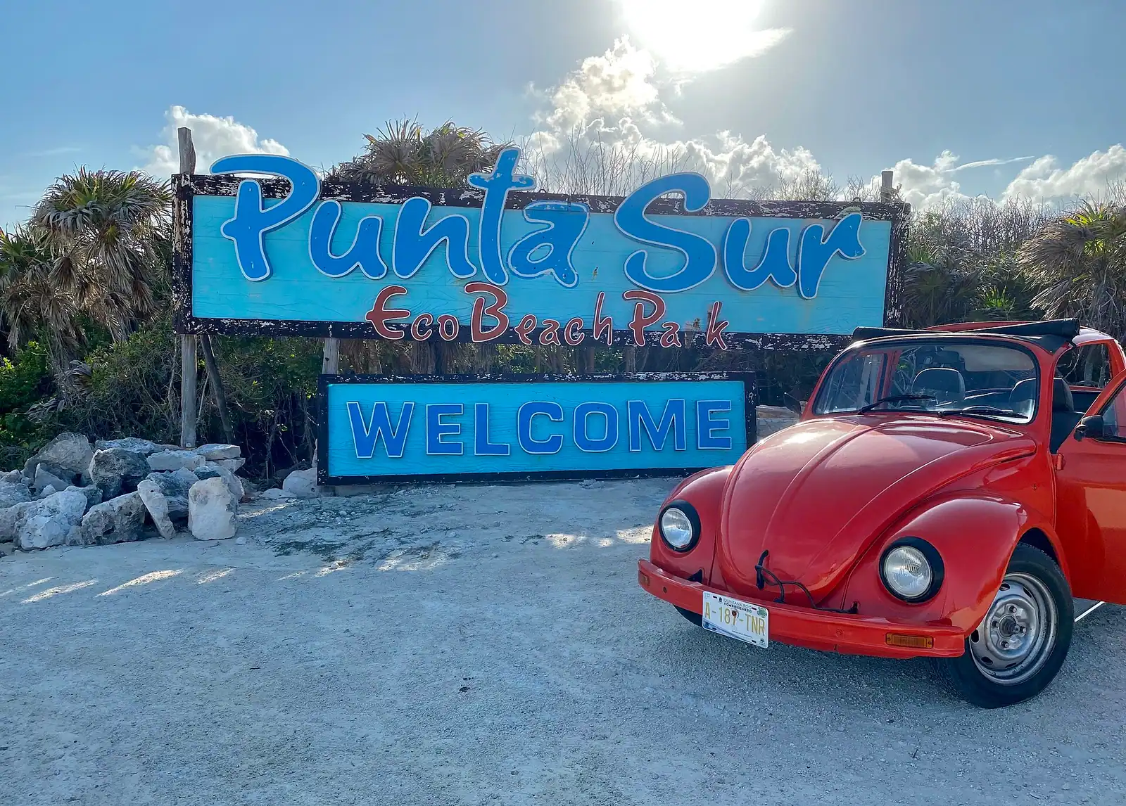
Punta Sur anchors the southern end: a separate paid eco park with the Faro Celarain lighthouse, a small museum, the crocodile lagoon at Laguna Colombia and a beach inside the boundary. It has its own gate, its own hours and its own admission, and it is a stop in its own right rather than part of the free coast road.

North of the park gate the coast road runs with the sea on your right the whole way. Punta Morena is the surf beach: when there is swell running, this is where the island's small surfing community is, and it has a bar and a few rooms. El Mirador is a limestone arch and blowhole formation on the shoreline, a five-minute stop and one of the more photographed rocks on the island.

Further north the bars cluster near the junction with the transversal road. Coconuts sits up on a bluff — one of the highest points on the coast — with a view down the length of the shore that is the single best photograph on Cozumel and a menu of fried fish and cold beer to go with it. Mezcalitos and the neighbouring Rasta Bar sit at beach level nearby, sandy, informal, and busy in the middle of the day when the jeep tours arrive.

Playa Bonita and the small coves around it are the quieter end of the same stretch.

Between and beyond all of these is coast. Empty beach, low scrub, limestone shelf, frigatebirds. Between roughly May and October these beaches are sea turtle nesting grounds for loggerheads and greens; nests are marked and protected, and walking on them or shining lights at night is genuinely harmful. It is one of the reasons this coast has stayed undeveloped, and it is worth respecting on its own terms.

Driving the loop: how long it takes and how to do it

When to go

The standard route is a loop. From San Miguel, take the Carretera Transversal east across the middle of the island — about twenty minutes, passing the turnoff for the San Gervasio ruins — then turn right at the coast and follow the east shore south to Punta Sur, and return up the west coast past the beach clubs into town. Reverse it and you drive the coast northbound instead, with the sea on your left.

Budget three to four hours for the loop with a couple of stops, and a comfortable full day if you want Punta Sur, San Gervasio, lunch on the east coast and a swim on the west. Driving time alone is around ninety minutes to two hours.

Go clockwise and go early. Leaving town by 8:30 puts you on the east coast before the organised jeep convoys arrive around eleven, and the light on the windward beaches is better in the morning.

Fill the fuel tank in San Miguel. There are no petrol stations on the east coast. Running out on that road is a long, hot wait.

Carry cash in pesos. The bars are cash-only, there are no ATMs on that side, and card readers depend on a signal that is not reliably there.

Mobile coverage is patchy to absent along parts of the coast. Download an offline map before you leave town and tell someone your plan.

The road surface varies. It is paved the length of the coast, but with sand drift, potholes and occasional washouts after weather. A standard rental jeep handles it fine; a scooter is manageable in dry conditions and unpleasant in wind. Topes — speed bumps — are unmarked and unforgiving.

What an east side day costs

What it costs

This is the cheapest good day on Cozumel, which is part of its appeal. Bands, as always.

  • Jeep rental, 24 hours: commonly $60 to $100 including basic insurance, more in high season. Read the insurance terms; Mexican liability coverage is mandatory and is where cheap quotes get expensive.
  • Scooter rental: typically $30 to $50 a day. Fine in settled weather, exposed in wind, and not a good idea for two adults on a sandy road.
  • Fuel for the loop: small. The island is not big.
  • Lunch and drinks at an east coast bar: roughly $15 to $30 a head for fried fish, guacamole and a couple of beers. Cash, pesos.
  • Punta Sur Eco Beach Park admission: a per-person park fee, typically in the region of $15 to $25 for adults with child rates. Verify current pricing before you go; it is charged at the gate.
  • Organised jeep or island tour: generally $80 to $150 per person for a half day including a guide, lunch and usually a couple of stops.
  • Private driver for the loop: commonly $150 to $300 for the vehicle for a half day, which beats a per-person tour from about three people.

Taxis are a poor way to do this. Fixed-zone fares across the island add up fast, and a taxi will not wait around at three separate beaches. Either rent something or book a tour.

Why this half of the island is still empty

It is worth understanding what you are looking at, because an undeveloped thirty-kilometre Caribbean coastline in 2026 is not an accident.

Cozumel's east shore has no protected anchorage, no calm water and a hurricane exposure that faces the open Atlantic swell. That makes it a poor place to build a resort and an expensive place to rebuild one. The island's tourist economy consequently grew entirely on the sheltered west side, where the cruise piers, the dive shops, the beach clubs and the town all sit within a few kilometres of each other.

Layered on top of that is protection. The southern tip is inside Punta Sur Eco Beach Park, the reef system down the west coast is a national marine park, and the east beaches are sea turtle nesting grounds with seasonal restrictions from roughly May to October. Loggerhead and green turtles come ashore on these beaches at night, and the absence of lighting along the coast road is part of why they still do.

The practical consequence for a visitor is unusual and worth taking advantage of. You can drive a half-hour from a pier that handles four cruise ships at once and stand on a beach with nobody else on it, in a place where the only buildings are three bars and a lighthouse. That contrast is the single most interesting thing about Cozumel as a destination, and it is available to anyone willing to rent a jeep for a day.

Treat it accordingly. Take your rubbish out with you, stay off marked nests, buy lunch from the bars that keep the coast economically alive, and do not swim where the sea is telling you not to.

Book it

Everything else we track

We could not find tours matching this right now

Nothing came back for Cozumel jeep tour. Operators add and retire experiences constantly, so this list changes week to week. Try a broader category, or come back in a day or two.

Where you can swim, and where you absolutely must not

Before you book

Assume the east coast is not swimmable unless you have specific reason to think otherwise. This is the most important paragraph on the page.

The reasons are structural, not seasonal. The windward shore has no barrier reef to break the swell, the bottom drops away quickly, and the water that piles onto the beach has to get back out, which it does as rip currents and undertow. There are no lifeguards anywhere on this coast, no flag system you can rely on, and mobile signal is patchy enough that calling for help is not a plan. The nearest hospital is in San Miguel, on the other side of the island.

The exceptions are specific coves, not stretches of coast. A few places along this shore are partly enclosed by rock or reef rubble, which creates a sheltered pool that stays calm when the open beach beside it is not. Locals know exactly which ones and use them with their children on calm days. They are still not lifeguarded, and they are not safe when there is swell running.

How to judge it on the day. Watch the water for five minutes before anyone gets in. A channel of darker, calmer water running out through the breaking waves is a rip, and that beach is closed as far as you are concerned. Waves dumping onto a steep sand face rather than rolling in mean stay out. Locals in the water with small children is the best signal you will get.

If you are caught in a rip, do not swim against it. Swim parallel to the beach until you are out of the pull, then come in.

Children and weak swimmers should stay out of the water on this coast, including the sheltered pools when there is any swell. Wade, dig, look for shells. The west coast is fifteen minutes away and genuinely safe.

Cruise day or overnight stay: who should do this

How they compare

The east side rewards time, which is why the split between the island's two audiences matters more here than anywhere else on the site.

Cruise passengerOvernight visitor
Time available6 to 8 hours, minus transfers and all-aboard marginA full day, any day
Realistic planOrganised jeep or island tour, 4 to 5 hoursRent a jeep, leave at 8:30, come back when you like
Independent rentalPossible on a long call, tight and riskyThe obvious choice
Best stopsCoconuts or Mezcalitos, El Mirador, Punta Sur if timeAll of it, plus San Gervasio and a west coast swim
Main riskAll-aboard; the loop is longer than it looks on a mapSunburn

If you are off a ship and the call is short, do not attempt this independently. The loop runs three to four hours before you have stopped anywhere, there is no signal for most of it, and a flat tyre out there is an all-aboard problem rather than an inconvenience. Book a tour that owns the timing.

If you have a long call — ashore by 8am, all-aboard mid-afternoon — an organised jeep tour is one of the best cruise excursions on the island.

If you are staying on the island, this is the recommendation. Not a beach club, not another catamaran. Rent a jeep, drive the loop, have lunch at a bar with sand on the floor, and swim on the west side in the afternoon.

Skip it if your idea of a good day is a lounger and a waiter, or if anyone in the party will be miserable being told they cannot swim.

What to bring to the east side

What to bring

There are no shops, no ATMs, no pharmacies and very little shade on this coast. Pack as if you are going somewhere remote, because you are.

  • Cash in pesos, in small notes. The bars do not reliably take cards and there is nowhere to get money.
  • More water than you think. Two litres a person is not excessive on a hot day with wind.
  • Reef-safe sunscreen, a hat and a long-sleeved shirt. The east coast wind hides how much sun you are taking, and there is no palapa between stops.
  • A full fuel tank, filled in San Miguel before you set off.
  • An offline map downloaded to your phone, plus your accommodation's address written down.
  • Closed shoes if you plan to walk out onto the limestone shelf, which is sharp and slippery in equal measure.
  • A light windbreaker. The windward side is genuinely breezy and a norte in winter makes it cold by Caribbean standards.
  • Insect repellent for dusk, particularly near the lagoons.
  • Your rental agreement and passport copy, and the rental company's phone number saved offline.

Leave the drone at home unless you have checked the rules for the protected areas, and do not take anything off the beach — shells, coral, sand. It is a protected coast.

On the ground

Where to go

Every place below has its own page — hours, parking, what it costs and what to expect when you get there.

  • A white lighthouse standing above low coastal scrub and dunes at the tip of a Caribbean island

    Park

    Punta Sur Eco Beach Park

    A thousand hectares on Cozumel's southern tip that you drive through rather than walk, ending at a lighthouse and a crocodile lagoon.

    2–5 hoursPaid park, charged per person at the gate, with a reduced rate for children. Your vehicle then drives the internal road at no extra charge.

  • Heavy surf breaking on an empty, steep windward beach under a bright sky
    Free

    Beach

    Punta Morena

    Open Caribbean, no reef in front of it, no lifeguard on the coast — and the best two hours on the island if you are staying the night.

    1–3 hoursFree. The beach is open shoreline; you pay only for what you eat and drink.

  • A crescent bay of coarse pale sand closed at each end by low rocky headlands
    Free

    Beach

    Playa Bonita (Punta Chiqueros)

    A headland-to-headland crescent that takes the sting out of the windward swell — the only east-coast beach locals actually swim at.

    1.5–4 hoursFree to use the beach. There is no gate, no parking charge and no beach-club wristband on this coast.

  • View from a low coastal cliff over open ocean with surf lines breaking offshore
    Free

    Viewpoint

    Coconuts Bar & Grill

    A flight of steps up a limestone bluff to the longest view on a famously flat island, and a shore you look at rather than swim in.

    0.5–1.5 hoursFree to climb up and look. You pay only for food and drink, at prices above what the same order costs in town.

  • Heavy surf breaking on an empty, coarse-sand windward beach with low scrub behind it
    Free

    Dining district

    Mezcalitos Beach Bar

    The first thing you reach after crossing the island: a palapa bar on an ocean shore that looks swimmable and is not.

    1–2 hoursNo admission charge. You pay for what you eat and drink, and east-coast prices sit above town prices.

  • A wave-cut natural arch in dark pitted limestone with surf driving through the gap
    Free

    Viewpoint

    El Mirador

    A wave-cut arch of fossil reef beside the coast road, free to climb, sharp underfoot, and about five minutes long.

    10–30 minutesFree, with no gate, no ticket and no parking charge — which on Cozumel is unusual enough to be worth saying.

Straight answers

Questions people actually ask

Can you swim on the east side of Cozumel?

Mostly no, and you should assume not unless you have specific reason to think otherwise. The windward coast has no barrier reef, the bottom shelves steeply, and the currents and undertow are genuinely dangerous. There are no lifeguards anywhere on that shore. A small number of coves are partly enclosed by rock and are swimmable in settled conditions, and locals use them, but they are exceptions and they are not safe when swell is running.

How long does it take to drive around Cozumel?

The full loop — transversal road east, down the wild coast to Punta Sur, back up the west side into San Miguel — takes about ninety minutes to two hours of pure driving, and three to four hours with a couple of stops. Add Punta Sur, San Gervasio and a proper lunch and it becomes a comfortable full day. Leave town by 8:30 to reach the east coast ahead of the organised jeep convoys.

Is the east side of Cozumel worth visiting?

If you are staying on the island, it is the strongest recommendation on this site. Roughly thirty kilometres of Caribbean coast with no hotels, no piers and no towns, three sand-floored bars, a limestone arch, a surf break and empty beach in both directions. It is a half-hour from a pier that handles four cruise ships at once, and almost no cruise passenger ever sees it.

What are the beach bars on Cozumel's east coast?

Coconuts sits up on a bluff with the best view on the island and serves fried fish and cold beer. Mezcalitos and the neighbouring Rasta Bar sit at beach level near the junction with the transversal road, sandy and informal. Punta Morena is further south by the surf beach. All of them are cash-only in practice, there are no ATMs on that coast, and card readers depend on a signal that is often absent.

Do you need a jeep to see the east side of Cozumel?

You need your own transport of some kind. A 24-hour jeep rental runs roughly $60 to $100 and is the usual answer; a scooter works in settled weather and is unpleasant in wind. Taxis are a poor option because fixed-zone fares across the island add up and no driver will wait at three separate beaches. On a cruise call, book an organised jeep tour rather than improvising.

Can cruise passengers visit the east side of Cozumel?

Yes, on a long call and with an organised tour. A four-to-five-hour jeep trip is one of the best cruise excursions on the island. Doing it independently is where people get caught: the loop plus stops runs longer than a map suggests, there is no fuel and little mobile signal on that coast, and a flat tyre becomes an all-aboard problem. On a short call, save it for a land trip.

Are there sea turtles on Cozumel's east beaches?

Yes. Loggerhead and green turtles nest along the windward beaches from roughly May to October. Nests are marked and protected, and the absence of lighting along the coast road is part of why the turtles still come ashore here. Do not walk on marked nests, do not shine lights at the beach after dark during the season, and keep your distance from any turtle you are lucky enough to see.

Does sargassum affect Cozumel's east coast?

Yes, considerably more than the west. The east shore faces the same open Caribbean that delivers sargassum to the mainland Riviera Maya, so seaweed does pile up there seasonally, typically worst around April to August. The sheltered west coast, where the beach clubs sit, is far less affected. Since you are unlikely to be swimming on the east side anyway, it changes the photographs more than the day.